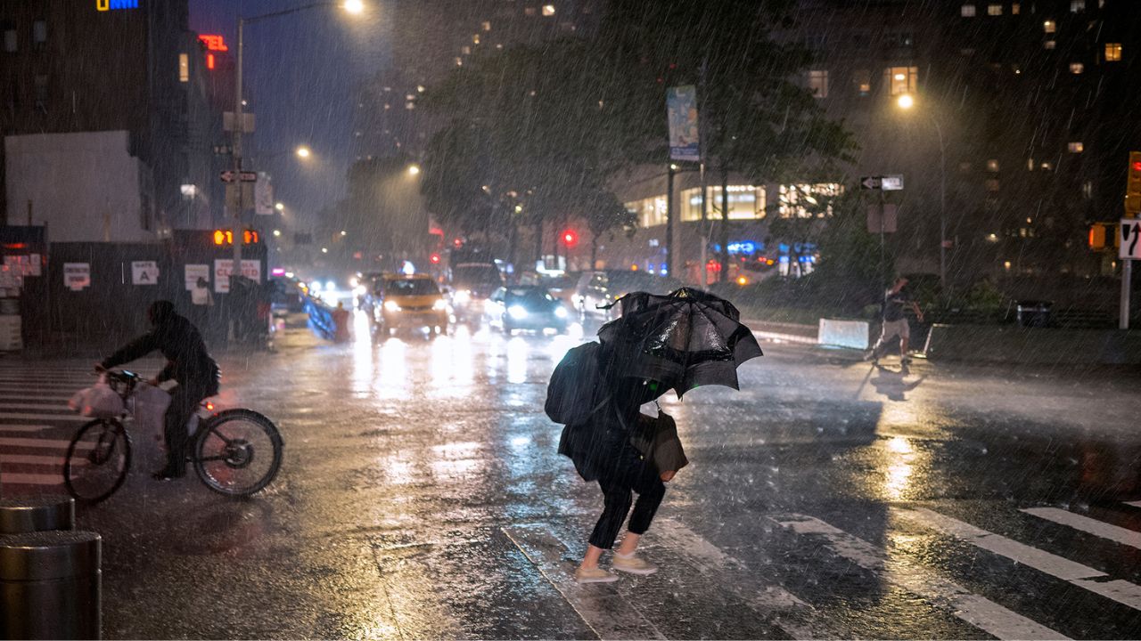
New York City, New York — Millions of residents across the Northeast and Mid-Atlantic are preparing for a dangerous combination of record-challenging heat and multiple rounds of severe thunderstorms this week. Meteorologists warn that the highest threat arrives Friday as a powerful cold front collides with hot, humid air that has been building across the eastern United States.
The developing weather pattern could bring damaging wind gusts, large hail, heavy rainfall, and even a few tornadoes, while many cities also face some of their hottest temperatures of the year.
Severe Storm Threat Begins Midweek
The first round of storm activity is expected to develop on Wednesday and continue into Thursday as weak disturbances move through the Northeast and Mid-Atlantic.
Forecasters say increasing humidity and daytime heating will create favorable conditions for scattered thunderstorms capable of becoming severe. Areas including New York, Pennsylvania, New Jersey, and parts of the Delmarva Peninsula could experience isolated storms producing strong wind gusts.
A Level 1 out of 5 severe weather risk remains in place from Richmond, Virginia, through Pittsburgh, Pennsylvania, and into Upstate New York during the midweek period.
While widespread severe weather is not anticipated initially, residents should remain alert for rapidly changing conditions during the afternoon and evening hours.
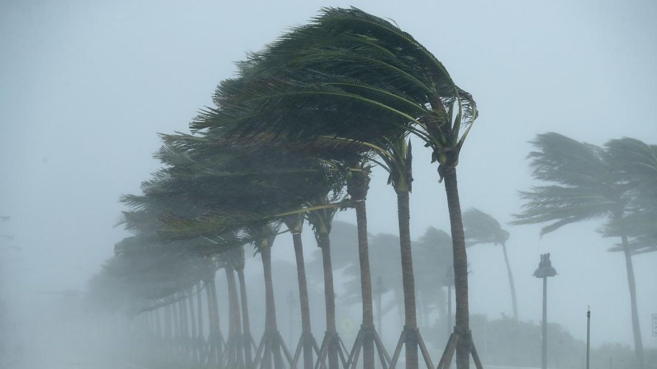
Friday Expected to Bring the Greatest Risk
Weather experts are closely monitoring Friday, which is forecast to bring the most significant severe weather threat of the week.
A strengthening cold front moving toward the Northeast will interact with extremely warm and moisture-rich air, creating an environment favorable for stronger storm development.
The Level 2 out of 5 severe weather risk stretches from portions of Kentucky through Upstate New York, affecting more than 50 million people.
Thunderstorms are expected to develop across the lower Great Lakes and upper Ohio Valley before advancing eastward into the Hudson Valley and Mid-Atlantic by evening.
The primary threats include:
- Damaging straight-line winds
- Large hail
- Frequent lightning
- Heavy downpours
- Isolated tornadoes
Forecasters caution that any storm that becomes organized could quickly intensify and create hazardous travel and outdoor conditions.
Record Heat Expands Across the East Coast
At the same time, a powerful surge of heat and humidity is spreading across much of the East Coast.
A strong area of low pressure moving through Canada, combined with high pressure positioned offshore, is helping pull tropical moisture northward into the Carolinas, Mid-Atlantic, and Northeast.
Beginning Thursday, dew points are expected to climb into the upper 60s and lower 70s, creating oppressive conditions for millions of residents.
Triple Threat for Chicago: Extreme Heat, High Humidity and Severe Storms Could Slam Area This Week
With temperatures running 10 to 15 degrees above average, heat index values could reach the mid-90s to low 100s across many communities.
Major Cities Could See Their Hottest Temperatures of the Year
By Thursday and Friday afternoon, temperatures are forecast to soar into the mid-to-upper 90s from Raleigh, North Carolina, through Washington, D.C., and northward to New York City.
Heat Advisories have already been issued for portions of the New York City metropolitan area, and additional alerts may be issued elsewhere as temperatures continue to rise.
Forecasters also warn that more than 40 daily record highs could be tied or broken by the end of the week. Cities such as Washington, D.C., and Philadelphia are among those with the greatest potential to set new temperature records while experiencing their hottest weather so far this year.
What Residents Should Do
Residents across the affected regions are encouraged to monitor local forecasts closely, stay hydrated, limit outdoor activities during peak afternoon heat, and have multiple ways to receive weather warnings.
With extreme heat arriving alongside the threat of severe thunderstorms, conditions could become dangerous quickly, especially for those spending time outdoors or traveling.
Do you think your area is prepared for another round of extreme summer weather? Have you experienced severe storms or dangerous heat recently? Share your thoughts and experiences in the comments below.