New York City, New York — A brief but intense surge of heat is expected to sweep across the Northeast and Mid-Atlantic before giving way to rounds of potentially severe thunderstorms that could impact millions of residents through the end of the week.
Forecasters say a warm and moisture-rich air mass moving northward from the Carolinas will send temperatures soaring across much of the East Coast. For many communities, the upcoming stretch could bring the highest temperatures recorded so far this year.
As the heat builds, weather experts warn that the combination of high humidity and increasing atmospheric instability may set the stage for strong to severe thunderstorms across several states.
Temperatures Expected to Soar Across the East Coast
Millions of Americans are expected to see temperatures climb well above seasonal averages as warm air spreads throughout the Northeast and Mid-Atlantic.
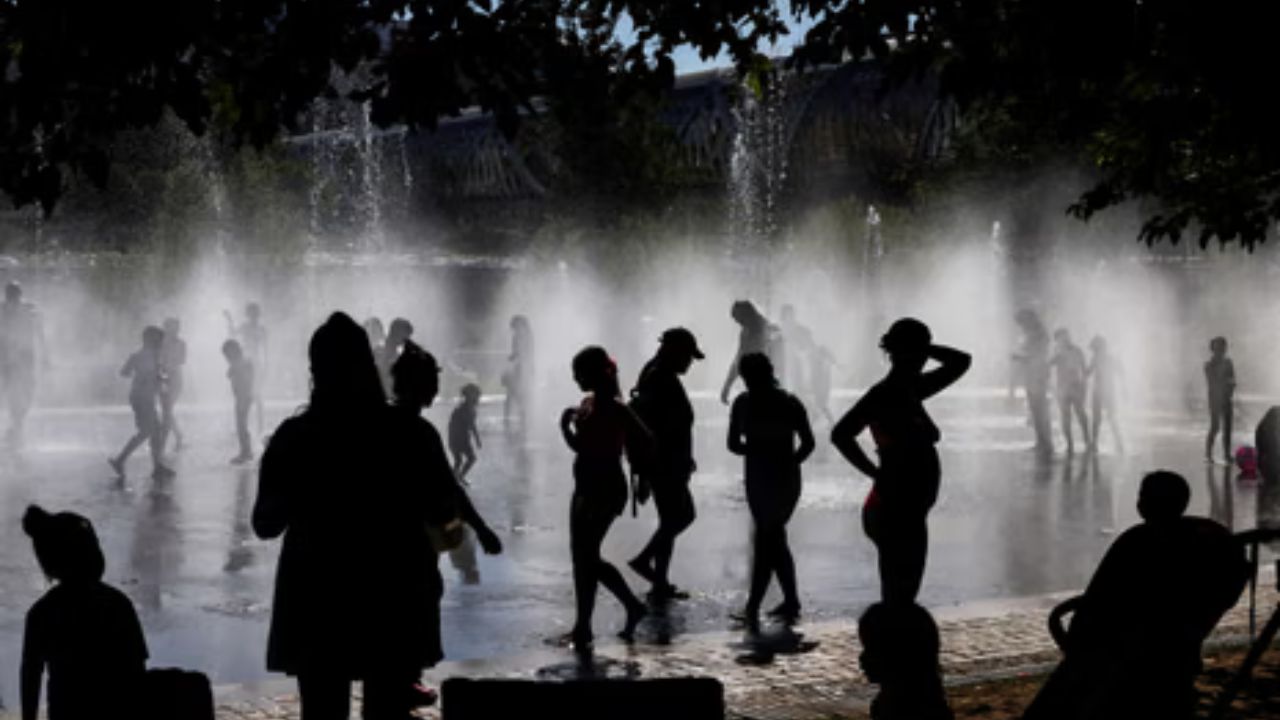
According to forecasters, high temperatures could run 10 to 15 degrees above normal, while elevated humidity levels make conditions feel even hotter.
The combination of heat and moisture is expected to push heat index values into the mid-90s and even low-100s in some locations, creating uncomfortable conditions for residents from the Carolinas through parts of New England.
The hottest conditions are expected late in the week before a cold front begins moving through the region.
Severe Storm Threat Expands Across Multiple States
While the heat itself will be notable, forecasters are increasingly concerned about the severe weather potential developing alongside it.
A weak disturbance in the jet stream is expected to move into the Northeast, creating favorable conditions for thunderstorms to develop during the afternoon and evening hours.
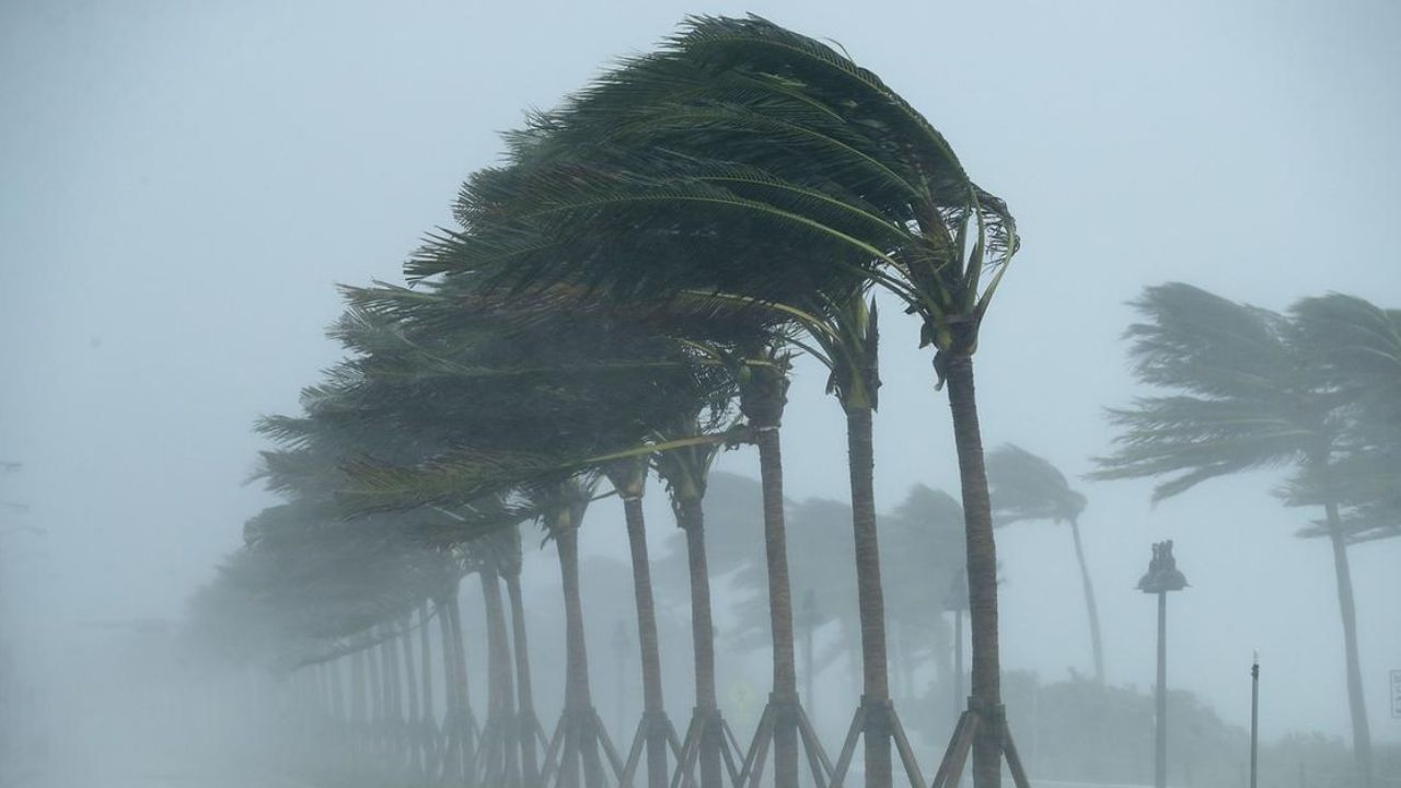
Meteorologists say areas of New York, Pennsylvania, New Jersey and the Delmarva region could see isolated storms capable of producing damaging wind gusts.
“During the peak heating hours of the day, with dew points climbing into the upper 60s, isolated storms capable of producing damaging wind gusts will be possible across New York, Pennsylvania and New Jersey, as well as southward into the Delmarva region,” the forecaster said.
A Level 1 out of 5 severe weather risk has already been outlined from Richmond, Virginia, through Pittsburgh and into parts of Upstate New York.
Major Cities Could See Strong Storms Friday
Weather models indicate the threat may intensify heading into Friday as a cold front approaches the region.
Forecasters are monitoring a Level 2 out of 5 severe weather risk stretching across much of the Mid-Atlantic and into New York’s Hudson Valley.
The primary hazards are expected to include damaging wind gusts, large hail, heavy rainfall and the possibility of a brief tornado.
“As southerly winds continue to pump record heat and high humidity into the region Friday afternoon, an approaching cold front will act as the focus for storm development,” the forecaster said.
Several major metropolitan areas fall within the risk zone, including Philadelphia, New York City, Baltimore and Washington, D.C.
More than 50 million Americans are expected to be affected by the developing severe weather threat.
California Coast on Alert: Massive Summer Swell Brings Dangerous Waves, Rip Currents and Flooding
Heavy Rainfall Concerns Continue for New York City
In addition to severe storms, heavy rainfall remains a concern, particularly across parts of the Northeast.
New York City has already experienced numerous wet weekends this spring, and forecasters expect additional rainfall opportunities as summer approaches.
Weather analysts note that repeated rounds of showers and thunderstorms could add to monthly rainfall totals and create localized flooding concerns in vulnerable areas.
As the storm system pushes eastward, residents should remain alert for rapidly changing weather conditions and potential severe weather warnings.
What Residents Should Know
The end of the week is expected to bring a combination of dangerous heat, high humidity and severe thunderstorms across large portions of the Northeast and Mid-Atlantic. Residents are encouraged to stay informed of local forecasts, limit outdoor activities during peak heat, and be prepared to seek shelter if severe weather develops.
Are you experiencing the heat and storms in your area? Do you think this summer is starting off wetter than usual? Share your thoughts and local weather conditions in the comments below.