Oklahoma City, Oklahoma — Despite June traditionally being one of the busiest months for severe weather across the United States, meteorologists say a surprisingly quiet pattern is expected to continue for at least the next couple of weeks.
Following a highly active April, tornado activity has dropped dramatically across much of the country, leaving many forecasters closely watching an unusual weather setup that has effectively shut down major storm development.
Tornado Alley Remains Unusually Quiet
The nation’s most active tornado-producing region, commonly known as Tornado Alley, has seen remarkably little activity compared to what is typically expected this time of year.
Normally, states across the Southern and Central Plains experience frequent severe thunderstorm outbreaks throughout May and early June. Instead, large portions of the region have remained unusually calm.
Meteorologists say the lack of severe weather is being driven by a combination of drought conditions, limited atmospheric moisture, and a stubborn weather pattern preventing storms from organizing.
Drought Conditions Limiting Storm Development
One of the biggest factors behind the slowdown has been the ongoing drought affecting parts of the High Plains and Four Corners region.
The dry conditions have left the lower atmosphere lacking the moisture needed to fuel powerful thunderstorms.
Instead, hot and dry air has frequently pushed eastward across the Plains, creating what meteorologists refer to as a thermal cap—a layer of warm air that prevents thunderstorms from developing.
Without sufficient moisture and instability, many storms simply fail to grow into the severe systems typically seen during late spring.
High-Pressure Pattern Blocking Severe Weather
Another major factor is a developing Omega block weather pattern, which consists of a strong area of high pressure trapped between two low-pressure systems.
This setup has created widespread sinking air across the central United States, further suppressing thunderstorm development.
The stagnant pattern is expected to remain in place through at least the second week of June, limiting opportunities for widespread tornado outbreaks and significant severe weather events.
Forecasters say this pattern has effectively acted as a shield against the atmospheric ingredients usually needed for rotating supercell thunderstorms.
May Tornado Numbers Fall Well Below Average
The drop in activity has been especially notable because May is typically the statistical peak of tornado season across the United States.
So far, only 152 preliminary tornado reports have been recorded during May, far below the historical average of 250 to 300 tornadoes.
Meteorologists say this makes May one of the least active tornado months in decades and the seventh least active May since 1990.
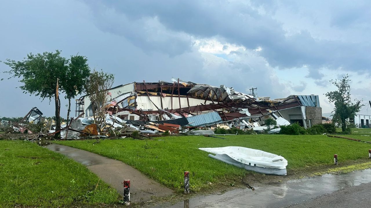
Only two tornadoes reached EF-3 strength or greater during the month. The most significant was an EF-3 tornado on May 6 that carved an 82-mile path across Mississippi.
Beyond that event, powerful storm systems capable of producing violent tornadoes have been largely absent.
Some States Seeing Record-Low Activity
Several states have experienced especially dramatic declines in tornado activity.
Southeast Coast on Alert as Storm System Threatens Heavy Rain, Strong Winds and Coastal Flooding
Oklahoma was on pace to complete May without a single reported tornado for the first time in decades before the National Weather Service confirmed at least two tornadoes in southeastern Oklahoma late in the month.
Meanwhile, Georgia recorded just one tornado during April and May combined, marking its lowest peak-season tornado count since 2012.
In contrast, Illinois remains the national leader in tornado reports despite seeing a dramatic slowdown. The state recorded 70 tornado reports in April but only one during May, yet still leads the nation with 152 reported tornadoes overall.
Could Storm Activity Return Later in June?
Forecasters believe the quiet pattern may eventually begin to change by the middle of June.
Meteorologists are monitoring signs of a strengthening Pacific jet stream that could create a more amplified weather pattern across North America. If that occurs, moisture could return to the Plains and increase the potential for severe thunderstorms and tornadoes.
For now, however, the unusually calm conditions are expected to continue, offering a rare break from the dangerous storms that often dominate this time of year.
Do you think this quiet tornado season will continue, or could severe weather make a comeback later this month? Share your thoughts in the comments below.