Jacksonville, Florida — As the 2026 Atlantic hurricane season officially begins, forecasters are closely monitoring a developing weather system that could bring wet weather, gusty winds and coastal hazards to portions of the Southeastern United States through the middle of the week.
While experts do not currently expect a major tropical threat, coastal communities from Georgia to Florida are being advised to stay informed as weather conditions continue to evolve.
Developing System Being Closely Monitored
Meteorologists say the potential weather maker involves a piece of storm energy moving northward from the South that could interact with a cold front advancing across the eastern United States.
This interaction may allow an area of low pressure to develop along portions of the Mid-Atlantic and Southeast coastline beginning Monday and continuing through midweek.
At the same time, a strong area of high pressure building over the northwestern United States is expected to help limit widespread tropical development across much of the East Coast.
However, forecasters say the Southeast could experience different conditions depending on how the system develops.
Rain and Wind Could Increase Along the Coast
Current forecast models suggest the developing low-pressure system could remain relatively weak and move quickly toward the Northeast, limiting significant impacts.
However, meteorologists caution that an alternative scenario remains possible.
“If this happens, the low pressure system would slow down, strengthen slightly and potentially stall closer to the coast,” the forecaster said. “That would bring a much larger shield of rain directly along the immediate coast, alongside gusty onshore winds.”
Should that scenario occur, coastal areas could experience longer periods of rainfall and stronger wind gusts than currently forecast.
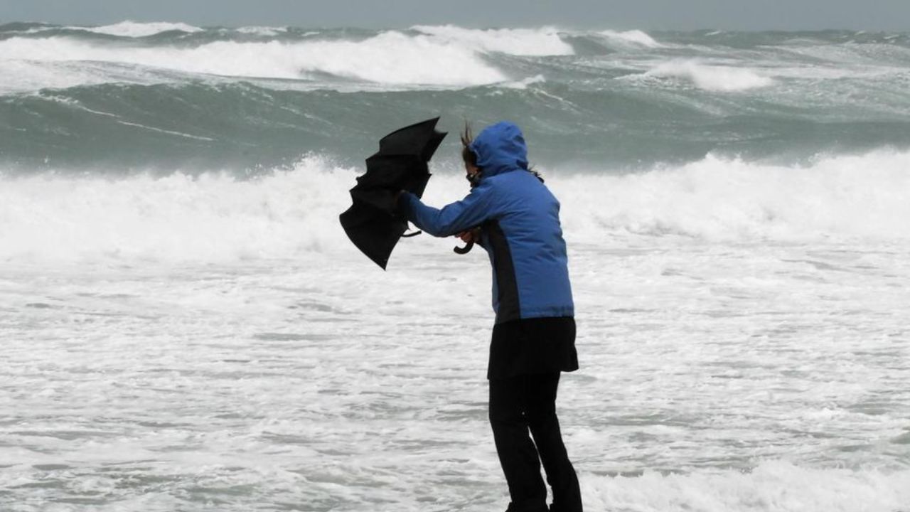
Coastal Flooding and Beach Erosion Possible
Regardless of the storm’s exact path or intensity, forecasters believe some coastal impacts are likely.
Officials are warning that beach erosion, rough surf and minor coastal flooding may affect portions of the Southeast coastline throughout the week.
Strong onshore winds can push water toward beaches and low-lying coastal communities, increasing the risk of localized flooding during high tides.
Beachgoers are also being advised to use caution due to potentially dangerous surf conditions and stronger-than-normal currents.
Georgia and Northern Florida Face Greatest Risk
At this stage, forecast guidance indicates that southeast Georgia and parts of northern Florida, including areas around Jacksonville, could experience the most widespread weather impacts.
While rainfall totals are not currently expected to reach extreme levels, periods of moderate to heavy rain may develop near the coast if the system strengthens.
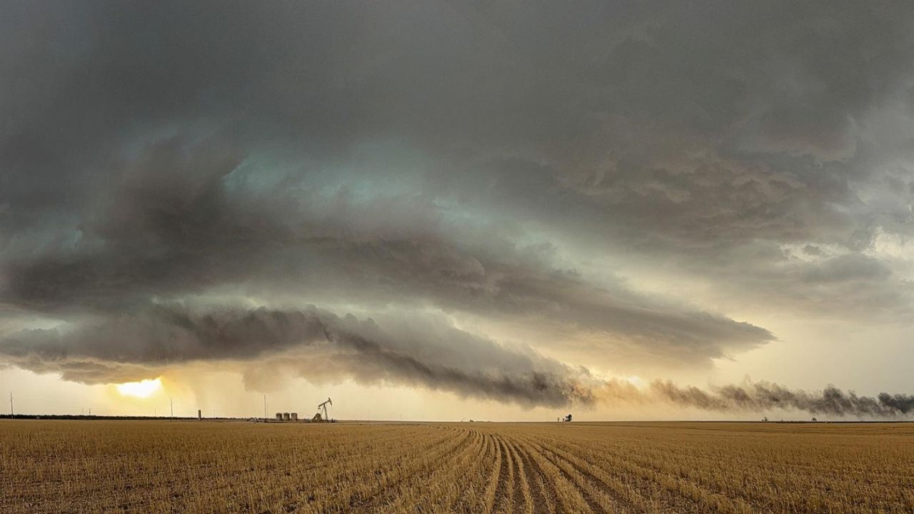
Hail, High Winds and Tornado Risk: Powerful Storm System Targets Central U.S. This Weekend
Forecasters say northern sections of Florida could see some of the most persistent rainfall and gusty winds associated with the developing low-pressure area.
Other parts of the Southeast may experience scattered showers and breezy conditions but are expected to avoid the most significant effects.
Forecast Uncertainty Remains High
Meteorologists stress that confidence remains lower than normal because the system is still in the early stages of development.
Computer forecast models continue to show varying scenarios regarding both the track and intensity of the potential coastal storm.
As a result, residents along the Southeast coastline are encouraged to monitor updated forecasts throughout the week, especially those with plans involving beaches, boating or other outdoor coastal activities.
With hurricane season now underway, this developing weather pattern serves as an early reminder that coastal conditions can change quickly, even when storms are not expected to reach tropical cyclone strength.
Do you think communities along the Southeast coast are prepared for another active hurricane season? Share your thoughts respectfully in the comments below.