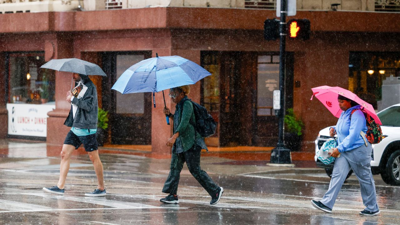
Dallas-Fort Worth, Texas — North Texas residents can expect another round of humid and unsettled weather through Thursday before a warmer and slightly drier pattern begins developing heading into the weekend.
Forecasters say storm coverage will remain fairly isolated over the next couple of days, but any storm that develops could still produce heavy rain, lightning and gusty winds.
Isolated Storm Chances Continue Through Thursday
The latest forecast trends show much of North Texas remaining dry through Wednesday evening and overnight, although forecasters say a few isolated showers cannot be completely ruled out.
Storm chances are expected to increase slightly again Thursday afternoon and evening, though coverage should remain scattered rather than widespread.
Meteorologists say any storms that do form may bring brief heavy rain, gusty winds, frequent lightning and small hail.
While widespread severe weather is not currently expected, forecasters noted that North Texas is now entering the time of year when weather conditions can vary dramatically from one neighborhood to another.
Some communities could see intense downpours while nearby areas stay completely dry.
Localized Flooding Remains Main Concern
Weather experts say the biggest concern through Thursday will likely be localized flooding due to the extremely humid air mass currently sitting across the region.
Because storms are expected to move very slowly, areas that do receive rain could quickly see water accumulate on streets and low-lying locations.
Forecasters warned that even isolated storms may produce significant rainfall totals over a short period of time.
The combination of warm temperatures and deep humidity will also keep conditions feeling muggy across the Dallas-Fort Worth area despite temperatures staying slightly below average.
Rain Chances Drop Before Returning This Weekend
Friday’s forecast is expected to trend drier for most of North Texas, although a stray shower cannot be ruled out near the Red River and far Northeast Texas.
Rain chances are then expected to increase again late Saturday evening into Saturday night, though current forecast models continue showing only about a 20% chance of storms at this time.
Meteorologists say the overall weather pattern remains somewhat unsettled, but no major widespread severe weather outbreak is currently expected over the next several days.
Temperatures Climbing Back Toward 90 Degrees
Cloud cover and occasional rain chances will continue helping keep daytime highs mainly in the low to mid-80s through Thursday.
However, forecasters say residents likely will not feel much relief because humidity levels remain extremely high across the region.
As sunshine gradually returns Friday and Saturday, temperatures are expected to rebound quickly.
Up to 6 Inches of Rain Possible as Stormy Pattern Takes Over South Florida
By the weekend, highs across North Texas could approach 90 degrees, signaling the beginning of a more summer-like pattern.
Thankfully, meteorologists say extreme early-season heat is not expected just yet.
Extended Forecast Still Includes Storm Chances
Looking ahead into early June, the extended forecast still includes periodic storm opportunities across North Texas.
However, forecasters say the overall pattern may slowly begin trending drier as the region moves deeper into the summer season.
Even so, any afternoon storm that develops in the hot and humid environment could still bring heavy downpours, gusty winds and small hail.
Residents are encouraged to continue monitoring daily forecasts as weather conditions can change quickly this time of year.
Are you ready for hotter temperatures returning to North Texas, or are you enjoying the cooler stormy weather? Share your thoughts in the comments below.