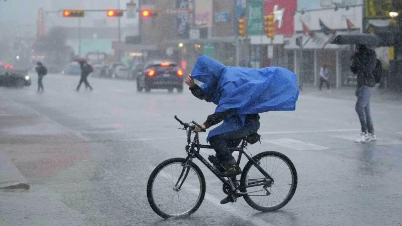
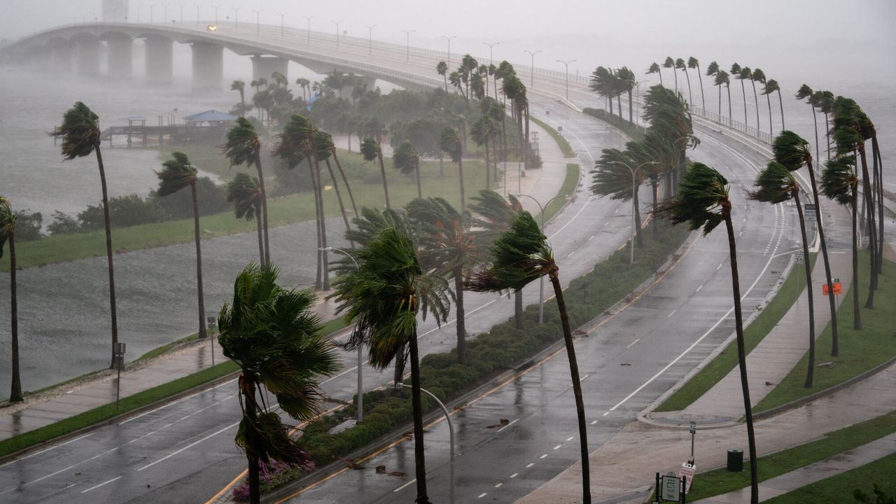
West Palm Beach, Florida — South Florida residents are being urged to prepare for several days of stormy weather as forecasters warn that parts of the region could receive up to 6 inches of rain over the next week.
The unsettled weather pattern is expected to impact the Palm Beaches and Treasure Coast, bringing repeated rounds of showers and thunderstorms beginning Thursday and potentially lasting into next Wednesday or Thursday.
Strong Storms Expected Thursday and Friday
Meteorologists say the first round of active weather will arrive Thursday and continue into Friday, combining dangerous heat with the potential for strong afternoon and evening storms.
Forecasters expect temperatures to climb into the 90s, while humidity levels could push the heat index close to 100 degrees.
Storms are expected to develop during the afternoon and evening hours before moving west to east across the region.
Weather officials are warning that a few storms during this period could become strong, producing heavy rainfall, gusty winds and dangerous lightning.
Localized flooding may also become a concern in areas that experience repeated downpours within a short period of time.
Weekend Forecast Remains Hot and Stormy
The stormy weather pattern is expected to continue into the weekend, with scattered showers and thunderstorms forecast for both Saturday and Sunday.
Conditions will remain hot and humid, with temperatures hovering around 90 degrees and heat index values again approaching triple digits.
Like earlier in the week, storms are expected to develop mainly during the afternoon and evening hours and move from west to east across South Florida.
While widespread severe weather is not currently expected, forecasters caution that any thunderstorm in Florida can quickly intensify and produce dangerous weather conditions.
Residents heading outdoors this weekend are being advised to closely monitor local forecasts and prepare for rapidly changing weather.
Heavy Rain Threat Increases Next Week
Forecasters say the greatest concern may come early next week as a prolonged stretch of moisture-rich weather settles across the area.
From Monday through Wednesday — and possibly into Thursday — South Florida could see repeated rounds of heavy rain each day.
The highest rain chances are expected during the afternoon and early evening hours, with showers and storms once again moving west to east.
Because storms may repeatedly track over the same locations, rainfall totals could quickly add up across parts of the region.
Some areas could ultimately receive up to 6 inches of rain, increasing the risk of ponding on roads, poor drainage flooding and travel disruptions.
Residents Urged to Stay Weather Aware
Meteorologists are encouraging residents to remain alert throughout the week as conditions could shift quickly depending on storm development.
Drivers are being reminded to use caution during periods of heavy rain, especially during evening commutes when visibility can rapidly deteriorate.
Officials also recommend limiting strenuous outdoor activity during the hottest parts of the day due to the combination of high temperatures and humidity.
The extended forecast highlights how quickly South Florida’s summer weather pattern can transition from intense heat to potentially dangerous storms and flooding concerns.
Do you think South Florida is prepared for another stretch of heavy rain and storms? Share your thoughts respectfully in the comments below.