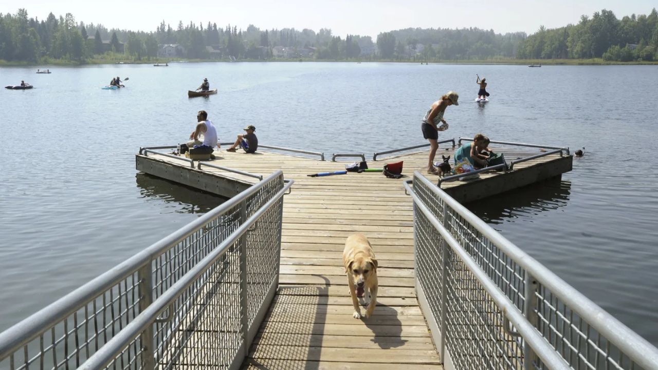
New York, New York — After several days of relatively mild and comfortable weather, much of the Northeast is preparing for a significant warm-up that could send temperatures soaring into the 90s before rain and cooler conditions return later in the weekend.
Forecasters say a strengthening weather pattern along the East Coast will create conditions more typical of summer than late spring, affecting millions of residents from Washington, D.C., to Boston.
High Pressure System Set to Boost Temperatures
Meteorologists say a strong ridge of high pressure will build across the eastern United States beginning Thursday and continuing into Friday.
As the system shifts eastward, southerly winds are expected to transport warmer air into the Northeast and Ohio Valley, causing temperatures to climb rapidly.
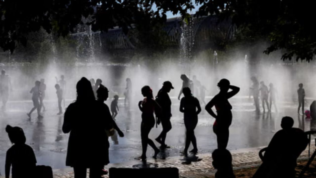
By Friday, many cities are forecast to experience temperatures 10 to 15 degrees above seasonal averages, creating some of the warmest conditions the region has seen in weeks.
The developing heat will be especially noticeable along the heavily populated Interstate 95 corridor, where millions of people are expected to experience near-summer conditions.
Major Cities Could Reach 90 Degrees
According to forecasts, several major metropolitan areas could approach or exceed the 90-degree mark by the end of the week and into the weekend.
Cities expected to experience the highest temperatures include:
- Washington, D.C.
- Philadelphia, Pennsylvania
- New York City, New York
- Boston, Massachusetts
The unusually warm temperatures may provide a preview of summer conditions several weeks before the official start of the season.
Forecasters also note that humidity levels could increase, making conditions feel even warmer in some locations.
Record High Temperatures Possible
The heat surge could become significant enough to challenge daily temperature records in parts of the Northeast and Mid-Atlantic.
According to forecasters, locations that may approach or break records include:
- Washington, D.C.
- Baltimore, Maryland
- Bridgeport, Connecticut
While not every city is expected to set a record, temperatures in many communities are likely to reach levels rarely seen this early in the season.
Residents planning outdoor activities should prepare for heat-related impacts, including increased hydration needs and prolonged sun exposure.
Watchers Across 8 States Stunned as Bright Fireball Tears Through Sky at Nearly 50,000 MPH
Weekend Rain Expected to End Warm Stretch
The summer-like conditions are not expected to last long.
Forecasters say a developing weather system will begin moving toward the Northeast by Saturday evening.
“By Saturday evening, an area of low pressure will move from the Great Lakes into the Northeast,” forecasters said. “Rain is expected to spread across much of New England and the Mid-Atlantic on Sunday, accompanied by cooler conditions.”
As the storm system arrives, temperatures are expected to fall sharply while rain spreads across much of the region.
Cooler Conditions Return Early Next Week
Following the brief period of heat, temperatures are expected to drop back into the 60s and lower 70s from Saturday through Monday in many locations.
The return of rain continues a wet spring trend across parts of the Northeast. Cities such as Boston have already experienced rainfall during 11 of the past 13 weekends this spring.
By the middle of next week, forecasters expect temperatures to stabilize and return closer to normal spring averages.
For now, residents across the Northeast may want to enjoy the brief taste of summer before cooler and wetter weather makes another appearance.
Are you looking forward to the summer-like warmth or ready for cooler temperatures to return? Share your thoughts in the comments below.