Huntsville, Alabama — Millions of Americans across the South and Central United States are facing an increasing flood threat as repeated rounds of heavy rain continue to soak communities, flood roads and prompt emergency rescues.
Forecasters warn that the dangerous weather pattern is expected to persist into the beginning of the week, raising concerns about additional flash flooding in already saturated areas.
Flash Flood Emergency Issued in Alabama
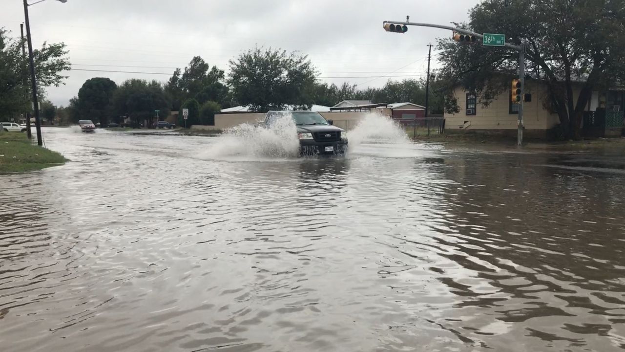
One of the most serious situations developed near Huntsville, Alabama, where the National Weather Service issued a Flash Flood Emergency on Sunday night.
Authorities reported multiple water rescues along with widespread flooding affecting streets and homes throughout the region.
According to forecasters, some communities have already received between 5 and 9 inches of rainfall, with an additional 1 to 3 inches still possible. The excessive rainfall has overwhelmed drainage systems in some locations and created dangerous travel conditions for motorists.
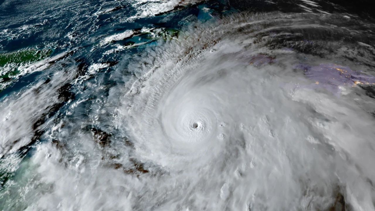
Tropical Moisture Fueling Heavy Rainfall
Meteorologists say the ongoing weather event is being driven by a large upper-level low-pressure system slowly moving eastward across the country.
As the system rotates, strong southerly winds continue pulling deep tropical moisture northward from the Gulf of America, creating ideal conditions for repeated rounds of showers and thunderstorms.
The combination of abundant moisture and daytime heating is expected to keep storms active through at least the early part of the week.
Forecasters warn that slow-moving storms may repeatedly move over the same locations, increasing the likelihood of flash flooding.
Flood Watches Remain in Effect
Because of the ongoing threat, Flood Watches remain in effect across portions of Tennessee, Alabama and Missouri through Monday evening.
Weather experts noted that the greatest flooding concerns currently extend across parts of the Missouri Valley, Southern Plains and Lower Mississippi Valley.
Areas that have already received significant rainfall are especially vulnerable because the ground is becoming increasingly saturated.
As additional storms move through, runoff will occur more quickly, making flash flooding more likely even with moderate rainfall rates.
More Storms Expected Through Tuesday
The threat will not end immediately. Forecasters say the upper-level low-pressure system will gradually weaken as it moves into the Midwest during Monday and Tuesday.
However, additional storm systems crossing the Plains and Upper Midwest will continue drawing moisture from the Gulf, sustaining widespread shower and thunderstorm activity.
18-Year-Old Dies After Suffering Heat-Related Illness During Grand Canyon Hike, Officials Say
Because of this setup, a Level 2 out of 4 risk for excessive rainfall and flash flooding remains in place across parts of the Mississippi Valley, Tennessee Valley and Ohio Valley.
Major cities included within the risk area include Nashville, Tennessee, and St. Louis, Missouri.
Rainfall Totals Continue to Climb
Forecast models indicate widespread rainfall totals of 1 to 2 inches are likely from Texas to Indiana and Georgia through Tuesday.
However, localized areas where storms repeatedly track over the same location could see rainfall amounts exceeding 3 inches.
While the heavy rain increases flooding concerns, meteorologists note that some of the precipitation will provide much-needed drought relief in parts of Arkansas and Tennessee, which have experienced ongoing dry conditions.
Still, officials are urging residents in flood-prone areas to remain alert, monitor local forecasts and avoid driving through flooded roadways as the storm threat continues.
Have you experienced flooding or severe weather in your area recently? Share your experiences and thoughts respectfully in the comments below.