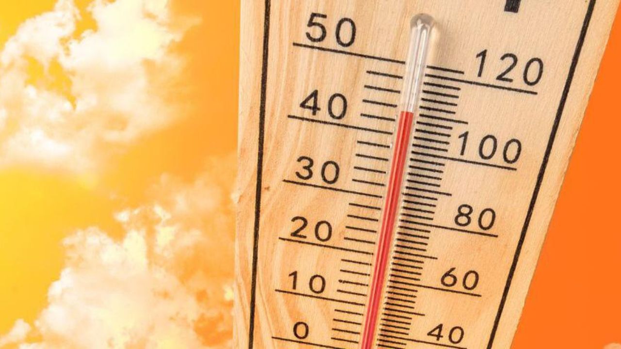
Dallas-Fort Worth, Texas — North Texas residents are facing another round of intense summer heat, but weather forecasters say a significant change is on the horizon as storm chances increase later this week and into the weekend.
After recording the hottest day of the year so far with temperatures reaching 96 degrees, the region is now preparing for a more active weather pattern that could bring thunderstorms, heavy rain and even localized flooding.
Triple-Digit Heat Indexes Continue Across North Texas
While actual air temperatures have remained in the mid-90s, humidity levels have pushed heat index values into the triple digits across parts of North Texas.
The combination of heat and moisture has created uncomfortable conditions throughout the region, especially during the afternoon hours.
Forecasters say temperatures south and west of the Dallas-Fort Worth Metroplex climbed into the upper 90s, making it feel even hotter outdoors.
Residents are being encouraged to stay hydrated, limit prolonged outdoor activities and monitor weather updates as conditions continue to evolve.
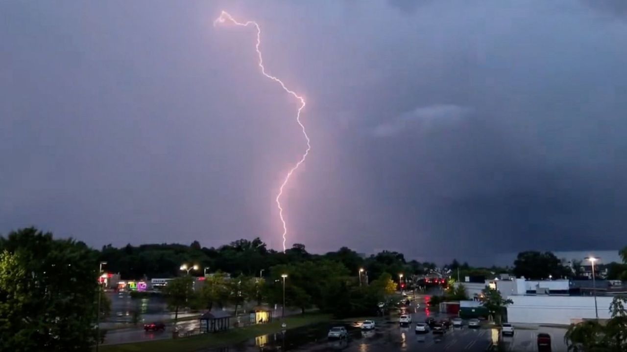
Weak Front Triggers Scattered Thunderstorms
Meteorologists say a weak backdoor front moving into North Texas from the northeast is helping spark scattered showers and thunderstorms.
The front is interacting with daytime heating and several outflow boundaries, creating favorable conditions for storm development.
Storm coverage is expected to range between 20% and 40%, with activity gradually shifting from northeast to southwest as the front moves through the region.
Although widespread severe weather is not anticipated, forecasters warn that a few stronger storms could still develop.
Potential hazards include:
- Gusty winds
- Frequent lightning
- Brief periods of heavy rainfall
- Isolated severe wind gusts
The strongest storms are expected to occur primarily south and west of the Metroplex.
Midweek Storm Chances Remain Limited
As daytime heating decreases after sunset, most storm activity is expected to weaken and gradually dissipate.
A few isolated showers could linger overnight across southwestern portions of North Texas, but most communities should experience a quieter night.
Low temperatures are expected to fall into the upper 60s and middle 70s.
Scattered thunderstorms remain possible Wednesday and Thursday, although overall coverage should be lower than Tuesday’s activity.
Most locations are expected to stay dry, but any storm that develops could still produce lightning, gusty winds and brief heavy rain.
High temperatures during the middle of the week are forecast to remain near seasonal averages, generally in the upper 80s to lower 90s.
Heat Wave Alert: New York, Philadelphia and D.C. Set to Swelter Before Temperatures Crash
Best Rain Chances Arrive Friday and Saturday
Weather conditions are expected to become much more active beginning Friday.
Forecasters say a stronger upper-level disturbance moving out of the Desert Southwest will bring the region’s best opportunity for widespread rainfall.
Rain and thunderstorm coverage is forecast to increase significantly Friday afternoon and continue into Saturday.
Storms are expected to bring:
- Heavy rainfall
- Frequent lightning
- Strong wind gusts
- Localized flooding concerns
Meteorologists note that abundant Gulf moisture will be available, increasing the risk of flooding if storms repeatedly move across the same areas.
Daytime highs Friday are expected to remain cooler due to increased cloud cover and rainfall, generally staying in the mid to upper 80s.
Weekend Outlook and Early Next Week
Off-and-on showers and thunderstorms are expected throughout much of Saturday, though the exact timing remains uncertain.
Some forecast models suggest storms may clear during the afternoon, while others keep rain chances lingering through much of the day.
Looking ahead to next week, scattered storm chances are expected to continue before temperatures gradually climb back into the 90s as southerly winds return.
For now, North Texans should prepare for a mix of dangerous heat, thunderstorms and potential flooding concerns as the weather pattern becomes increasingly active.
How are you preparing for the changing weather across North Texas? Share your thoughts and local conditions in the comments below.