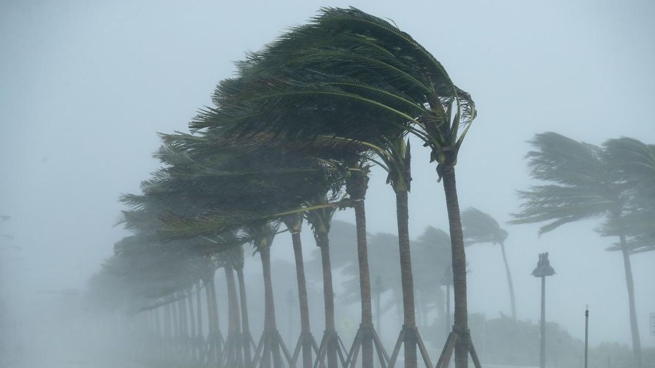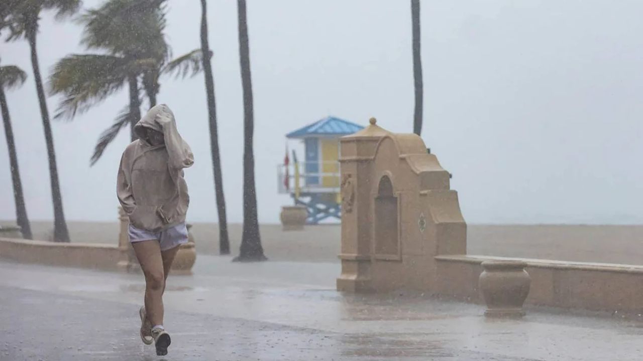
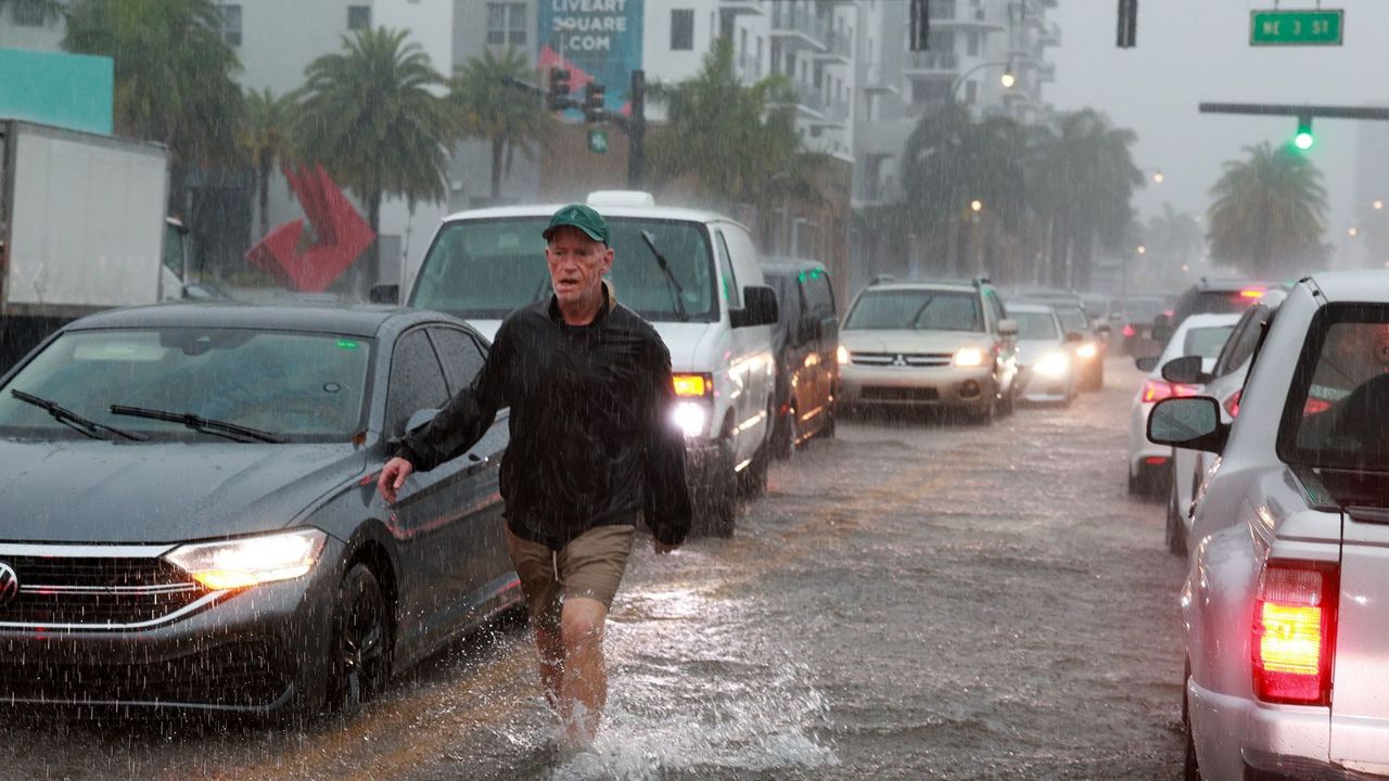
Miami, Florida — Millions of Floridians are being urged to prepare for days of heavy rainfall and potential flash flooding as a moisture-rich weather system settles over the state, bringing repeated rounds of thunderstorms through the weekend and into early June.
Forecasters say the prolonged weather event could dump several inches of rain across large portions of the Florida Peninsula, increasing the risk of localized flooding in vulnerable areas.
Heavy Rainfall Targets South Florida
The greatest concerns are centered across South Florida, including the major metropolitan areas of Miami and Fort Lauderdale, where repeated downpours are expected over the coming days.
Meteorologists warn that some locations could receive 3 to 5 inches of rainfall, while isolated communities may see totals climb even higher.
The Storm Prediction Center has issued a Level 1 out of 4 flash flood threat for portions of the Miami area as tropical moisture continues streaming into the region.
Because the atmosphere remains exceptionally moist, storms will be capable of producing intense rainfall in a short period of time, increasing the likelihood of flooded roads and poor drainage issues.
Weather Pattern Responsible for Texas Flooding Moves East
The system impacting Florida is the same weather pattern that recently caused significant flooding problems across parts of Texas.
Earlier this week, severe storms brought heavy rainfall, damaging winds and widespread flash flooding to portions of the state. Emergency crews reportedly carried out numerous water rescues as roads became inundated.
Now, that active pattern has shifted eastward and become established over Florida and parts of the Southeast.
Forecasters say an upper-level disturbance interacting with a cold front has created ideal conditions for prolonged rainfall.
After moving southward, the front stalled over the region, allowing deep moisture from both the Gulf of Mexico and the Atlantic Ocean to continuously feed into developing storms.
Flash Flood Concerns Increase Through Weekend
While rainfall may provide much-needed relief to areas dealing with ongoing drought conditions, the volume of water expected in a short period could create new hazards.
Forecasters say localized flash flooding could begin developing across South Florida as clusters of thunderstorms repeatedly move over the same locations.
By Friday, rainfall coverage is expected to become even more widespread as the stalled front remains locked in place.
Residents in flood-prone neighborhoods, low-lying areas and locations with poor drainage may experience the highest impacts if heavier rain bands persist.
Storm System Expected to Strengthen
Weather models indicate the system could become more organized by Saturday as an upper-level low-pressure system develops near the Southeast.
This development is expected to enhance moisture transport along the Atlantic coastline and spread heavier rainfall into portions of Georgia and the Carolinas.
Heavy Rain, Lightning and Humidity Stick Around North Texas Ahead of Weekend Warmup
Forecasters are also monitoring a potential flash flood threat near Charleston, while some coastal communities could experience minor flooding due to excessive rainfall.
Rainfall totals of 2 to 3 inches or more are possible in parts of the Southeast outside Florida.
Up to 8 Inches of Rain Possible in Some Areas
Looking ahead into early June, the weather pattern is expected to evolve slowly as high pressure builds southward.
However, significant tropical moisture is forecast to remain trapped across the Gulf region, meaning additional rounds of heavy rain could continue developing next week.
Current forecasts suggest the Florida Peninsula will receive the highest rainfall totals, with widespread accumulations of 3 to 5 inches expected through next Thursday.
Some isolated areas could see 5 to 8 inches of rain, raising concerns about localized flooding and travel disruptions.
Residents are encouraged to closely monitor local forecasts and remain alert for any flood advisories or warnings issued in the coming days.
Are you experiencing heavy rain or flooding in your area? Share your observations and thoughts respectfully in the comments below.