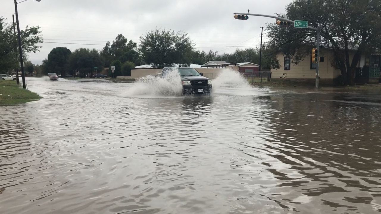
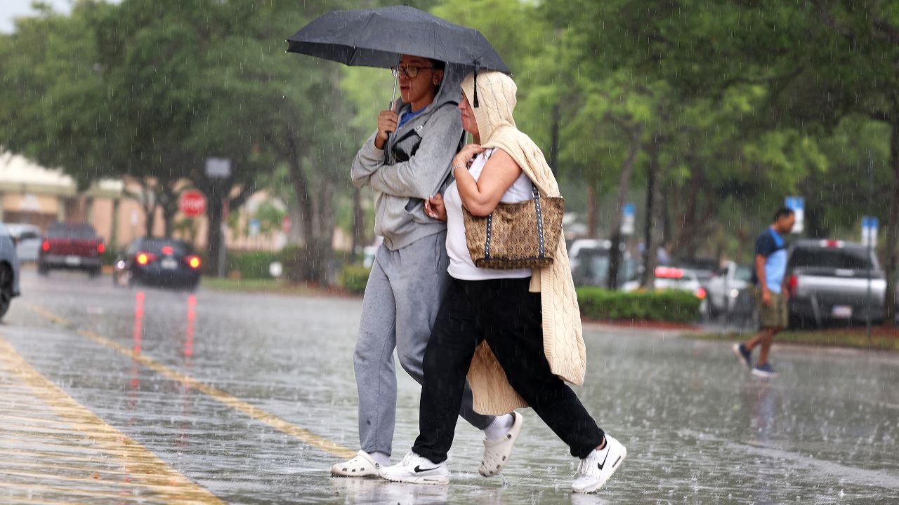
New Orleans, Louisiana — A powerful stretch of wet weather is delivering much-needed drought relief across parts of the southern United States, but the same rainfall is also creating dangerous flash flooding conditions that could continue into the weekend.
Meteorologists say a surge of tropical moisture, sometimes referred to as an atmospheric river, has fueled repeated rounds of heavy rain across the Gulf Coast, Southeast and portions of the southern Plains.
Heavy Rain Brings Both Relief and Danger
The weather pattern has produced significant rainfall from the central Gulf Coast into parts of the Appalachian region since the beginning of the week.
While many drought-stricken communities have welcomed the moisture, the intensity of the rain has also created hazardous conditions in several areas.
Authorities reported a tragic fatality in Petal, Mississippi, where a woman drowned after her vehicle was swept away by rising floodwaters on Monday.
Meanwhile, flash flooding was also reported in Henderson County, North Carolina, an area still recovering from the devastating impacts of Hurricane Helene in September 2024.
Rainfall Totals Climb Across Multiple States
Several communities recorded impressive rainfall totals between Sunday night and Wednesday night as storms repeatedly moved through the region.
Some of the highest reported rainfall amounts included:
- 6.62 inches in Destin, Florida
- 5.51 inches in Greenwood, South Carolina
- 5.45 inches in Asheville, North Carolina
- 5.00 inches in Florala, Alabama
- 4.18 inches in New Orleans, Louisiana
These totals have helped replenish moisture levels in areas experiencing severe and exceptional drought conditions.
Drought-Stricken Areas Receive Much-Needed Moisture
Forecasters say the rain will provide substantial benefits for parts of the South and Great Plains that have struggled with prolonged dry conditions.
Hail, High Winds and Tornado Risk: Powerful Storm System Targets Central U.S. This Weekend
States expected to receive continued drought relief include:
- Florida
- Georgia
- South Carolina
- Arkansas
- Oklahoma
- Nebraska
- Kansas
Many of these locations have been experiencing exceptional drought, the most severe category used by drought monitoring agencies.
The rainfall is expected to improve soil moisture, assist agriculture and provide relief to reservoirs and waterways affected by extended dry weather.
Flash Flood Threat Remains Elevated
Despite the benefits, meteorologists warn that the ongoing weather pattern remains capable of producing dangerous flash flooding.
A stalled weather front stretching from the southern Plains to the Atlantic Coast continues to provide a focus for repeated thunderstorm development.
Forecasters warn that several inches of rain could fall within only a few hours in localized areas.
Rainfall at that intensity can quickly overwhelm drainage systems and trigger flooding in:
- Urban neighborhoods
- Low-lying roads
- Small streams and creeks
- Poor-drainage areas
Officials are urging residents to avoid driving through flooded roadways and to remain alert for changing weather conditions.
More Weather Changes Possible Next Week
Meteorologists expect a push of drier air from Canada and the Northeast to gradually force the heaviest rainfall farther south through the weekend.
This shift could reduce rainfall across portions of the Appalachians, Piedmont and Mid-Atlantic region.
However, forecasters caution that moisture may surge northward again as June progresses.
There is also growing attention on a potential tropical system that could develop in the coming weeks. If atmospheric conditions become favorable, it could become the first named storm of the Atlantic hurricane season.
For now, residents across the South are being urged to remain weather-aware as heavy rain, thunderstorms and flash flooding continue to pose risks in affected communities.
Have you experienced flooding or severe weather in your area recently? Share your thoughts and experiences respectfully in the comments below.