Seattle, Washington — Residents across a large portion of Washington state are being urged to stay alert after the National Weather Service (NWS) issued a Severe Thunderstorm Watch covering the Cascades and 20 counties throughout Central and Eastern Washington.
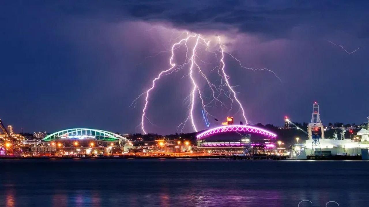
The weather alert remains in effect until midnight, as forecasters monitor developing conditions that could bring thunderstorms, lightning, heavy rainfall and potentially hazardous weather to the region.
Severe Thunderstorm Watch Covers Large Portion of Washington
The National Weather Service issued the watch for a broad area of the state, including mountain communities and several heavily populated counties.
The following counties are included in the watch area:
- Adams County
- Asotin County
- Benton County
- Chelan County
- Columbia County
- Douglas County
- Ferry County
- Franklin County
- Garfield County
- Grant County
- Kittitas County
- Klickitat County
- Lincoln County
- Okanogan County
- Pend Oreille County
- Spokane County
- Stevens County
- Walla Walla County
- Whitman County
- Yakima County
In addition to these counties, portions of the Washington Cascades are also included in the weather alert.
What the Watch Means for Residents
A Severe Thunderstorm Watch means atmospheric conditions are favorable for the development of severe thunderstorms. While storms may not occur everywhere within the watch area, residents should remain prepared for rapidly changing weather conditions.
Meteorologists say thunderstorms can produce dangerous lightning, strong wind gusts, brief heavy downpours and localized hazardous conditions.
Weather conditions can change quickly, particularly in mountainous regions and open areas where storms may develop with little warning.
National Weather Service Shares Safety Tips
The National Weather Service is encouraging residents to take precautions if thunderstorms develop in their area.
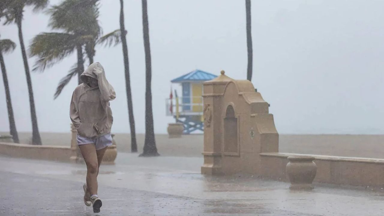
Florida Residents Urged to Prepare as Slow-Moving Storm System Brings Days of Heavy Rain
Officials provided the following safety recommendations:
- Seek shelter inside a sturdy building or a vehicle with a hard-top roof.
- Avoid hilltops, open fields and exposed outdoor locations.
- Stay away from tall isolated trees during thunderstorms.
- Postpone water-related activities until storms pass.
- Remain indoors for at least 30 minutes after hearing the last clap of thunder.
Weather experts emphasize that lightning can strike miles away from a storm and remains one of the most dangerous weather hazards during thunderstorm events.
Weather System Moving Toward Washington
Forecasters say the increased storm threat is linked to an upper-level low-pressure system that has been lingering over California throughout the week.
While the system remained far enough south to avoid significantly impacting Washington’s weather earlier in the week, meteorologists say it is now beginning to shift east-northeast.
As the system moves closer, it is bringing additional moisture and atmospheric instability into the Pacific Northwest, creating favorable conditions for showers and thunderstorms to develop.
Residents Urged to Monitor Forecasts
Officials are encouraging residents in affected areas to closely monitor local forecasts, weather alerts and emergency notifications throughout the evening.
With the watch remaining active until midnight, forecasters will continue tracking conditions for any storms that could strengthen and produce hazardous weather.
Residents should be prepared to move indoors quickly if threatening weather approaches their area.
Are you seeing stormy conditions where you live? Share your weather observations and thoughts respectfully in the comments below.