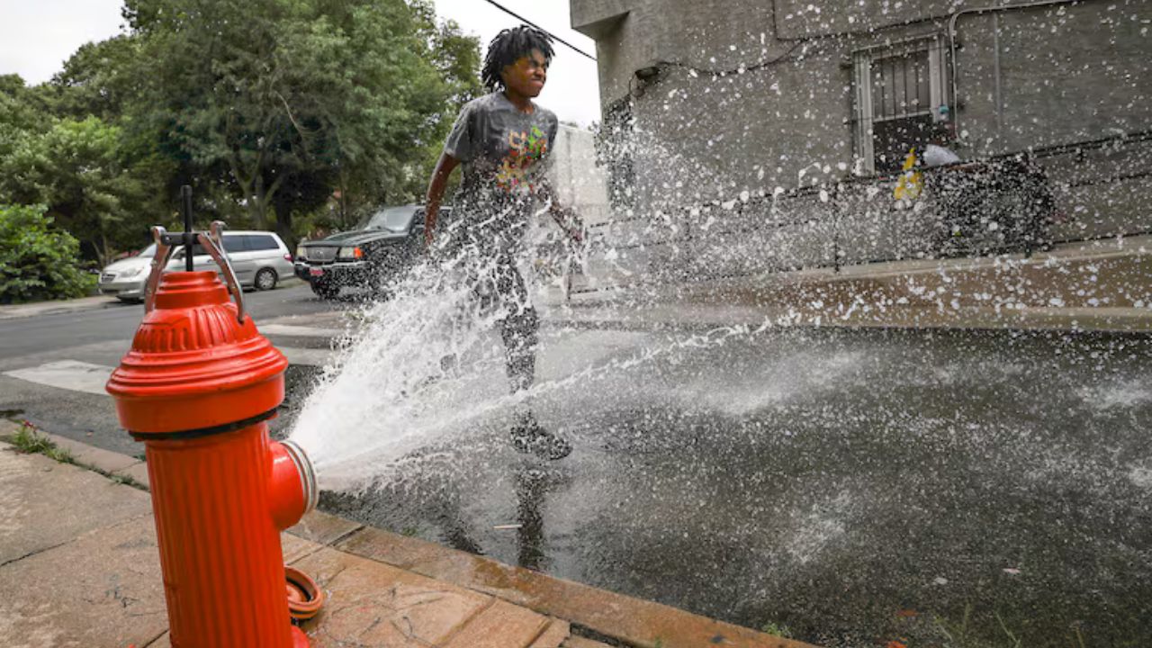
Philadelphia, Pennsylvania — Residents across the Philadelphia region can expect a pleasant start to the week before a significant warm-up pushes temperatures into summer-like territory by the end of the week.
While Tuesday morning began with cool temperatures requiring light jackets or sweatshirts, forecasters say much hotter conditions are on the horizon as the region heads toward what could become its second heat wave of the year.
Comfortable Tuesday Brings Sunshine and Mild Temperatures
The day started with temperatures in the upper 40s and low 50s, providing a cool and refreshing start for commuters and early-morning activities.
However, conditions are expected to improve quickly as sunshine mixes with clouds throughout the day. Afternoon temperatures are forecast to reach around 78 degrees, which is close to the seasonal average for early June.
The pleasant weather also means residents can enjoy several dry days ahead, making it a good opportunity for outdoor activities, yard work and other plans that require favorable conditions.
Forecasters are also encouraging drivers to take advantage of the dry stretch and clean off the pollen that has accumulated on vehicles during recent weeks.
Major Warm-Up Arrives Midweek
The biggest weather story this week will be the rapid increase in temperatures beginning Wednesday.
Sunny skies and a strengthening ridge of high pressure are expected to send temperatures climbing steadily throughout the second half of the week.
Wednesday is forecast to reach 85 degrees, followed by 90 degrees on Thursday.
By Friday, temperatures could soar to 93 degrees, making it one of the hottest days of the year so far. Saturday is expected to remain extremely warm, with highs around 91 degrees.
Meteorologists say these readings could qualify as the region’s second heat wave of 2026, despite summer not officially beginning for several more weeks.
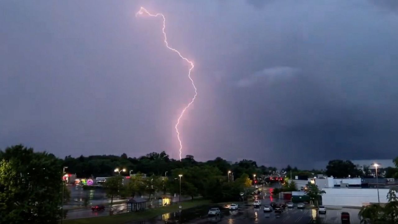
Drought Conditions Continue to Worsen
While many residents may welcome the sunshine, the lack of rainfall continues to create challenges across the region.
Forecasters report that the Philadelphia area is currently more than four and a half inches below normal rainfall levels for the year.
Unfortunately, no significant soaking rain appears in the extended forecast.
The continued stretch of dry weather, combined with increasing temperatures, is expected to worsen existing drought conditions. The approaching heat will likely accelerate evaporation and further dry out lawns, gardens and local waterways.
Officials are encouraging residents to monitor water usage and remain mindful of dry conditions as summer approaches.
Rain Chances Return Late Weekend
The first opportunity for rain may not arrive until late Sunday.
Current forecasts indicate a chance for evening thunderstorms on Sunday, which could provide some limited relief from the heat.
Temperatures are expected to cool slightly by then, with highs near 82 degrees. Additional scattered showers are possible Monday, when temperatures should remain in the mid-80s.
Summer Arrives Fast: Chicago Temperatures Could Hit 90 Degrees Before Weekend Thunderstorms Roll In
However, forecasters do not expect these rain chances to significantly improve the ongoing rainfall deficit.
Philadelphia 7-Day Forecast
Tuesday: Clouds and sun. High 78, low 52.
Wednesday: Sunny. High 85, low 56.
Thursday: Warmer. High 90, low 58.
Friday: Hot. High 93, low 64.
Saturday: Hot. High 91, low 69.
Sunday: Evening storm. High 82, low 68.
Monday: Few showers. High 84, low 64.
Are you looking forward to the summer heat, or would you rather see some rain return to the Philadelphia region? Share your thoughts in the comments below.