Dallas, Texas — Millions of Americans across the Plains and Mississippi Valley are preparing for several days of severe weather as forecasters warn of powerful thunderstorms capable of producing damaging winds, large hail, tornadoes and flash flooding.
The active weather pattern is expected to continue throughout the week, creating repeated threats for communities, farmers and travelers across a large portion of the central United States.
Millions Face Severe Weather Threat Monday
Forecasters say approximately 40 million people could be impacted by severe weather on Monday alone as two major storm zones develop across the country.
One area of concern is centered over the Mississippi Valley and interior Southeast, where storms are expected to affect cities including Memphis, Tennessee; Little Rock, Arkansas; Birmingham and Huntsville, Alabama; Jackson, Mississippi; and Cape Girardeau, Missouri.
The primary hazards in this region include damaging wind gusts and large hail, which could cause damage to homes, vehicles and infrastructure.
At the same time, another severe weather zone is expected to develop across portions of the High Plains, stretching from northwestern Texas and northeastern New Mexico to eastern Montana and western sections of the Dakotas.
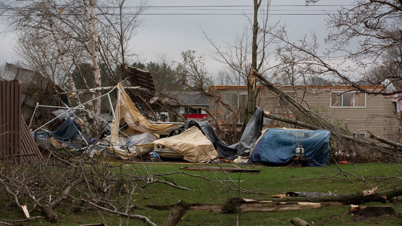
Meteorologists warn that some of the strongest storms in this region could also produce brief tornadoes.
Severe Storms Continue Across the Plains on Tuesday
The severe weather threat is expected to intensify across parts of the Great Plains on Tuesday.
Areas from eastern Colorado through much of the Dakotas and eastern Montana are expected to face the greatest risk of severe thunderstorms.
Forecasters say the primary threats will be:
- Damaging winds
- Large hail
- Isolated tornadoes
Storm activity will also extend northward into portions of Manitoba and Saskatchewan, Canada.
Meanwhile, another zone of strong thunderstorms is expected to develop across parts of the Southeast.
Southeast States Also Facing Storm Threats
Communities from northern and eastern Florida through central and southern Georgia and into east-central Alabama may experience heavy thunderstorms Tuesday.
While tornado risks appear lower in this region, forecasters warn that strong and potentially damaging wind gusts could accompany the storms.
Heavy rainfall and localized flooding may also become concerns in some areas experiencing repeated rounds of rain.
Higher Risk Area Develops Midweek
By Wednesday, the severe weather threat is expected to shift farther east while remaining concentrated across the northern Plains.
Southeast Coast on Alert as Storm System Threatens Heavy Rain, Strong Winds and Coastal Flooding
Storms capable of producing damaging winds and large hail are forecast from areas near the Canadian border in North Dakota and Minnesota southward into northwestern Kansas and northeastern Colorado.
Forecasters have identified a particularly concerning corridor extending from eastern North Dakota into central South Dakota, where stronger storm development may occur.
High Plains Remain Under Threat Thursday and Friday
The focus of severe weather is expected to move back toward the High Plains on Thursday.
Areas from central and southeastern Montana through southwestern North Dakota and northeastern Colorado could see powerful thunderstorms capable of producing damaging hail and strong winds.
By Friday, forecasters expect the storm threat to shift eastward once again toward portions of the Mississippi Valley.
Flash Flood Risk Expands Later This Week
In addition to severe thunderstorms, meteorologists are increasingly concerned about flash flooding caused by repeated rounds of heavy rain.
The highest flooding risk on Tuesday and Wednesday is expected across West Texas and central and eastern New Mexico.
From Thursday through the weekend, the threat is forecast to spread into:
- Central and eastern Texas
- Much of Oklahoma
- Western Arkansas
- Western Louisiana
Repeated downpours could lead to rapidly rising water levels, flooded roadways and dangerous travel conditions in some areas.
Residents in affected regions are encouraged to closely monitor weather forecasts and be prepared for rapidly changing conditions throughout the week.
Are you located in one of the areas expecting severe weather this week? Share your thoughts and local conditions in the comments below.